Geospy.ai
Added: May 26, 2024GeoSpy AI is a powerful image geolocation tool that uses artificial intelligence to analyze photos and estimate where they were taken.
Visit Tool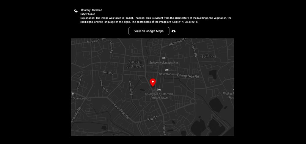
Description
Pricing
Alternatives
The GeoSpy web app allows users to upload an image and receive the AI's best estimate for the location, including coordinates, a map view, and a general description of the area. The tool has been trained on billions of images from around the world, analyzing features like architecture, vegetation, and soil to relate them to countless geographic locations.
Free
No alternatives content.